
Maps of Natland
Different ways to explore the village and its surroundings: walking routes, aerial imagery, Street View for a rotating ground-level look, the Ordnance Survey reference sheet, and a link to community photographs on Geograph.
Walking map
Natland sits at the junction of several public footpaths and is well placed for walks along the River Kent and across to Oxenholme. Click any marker for more detail.
For detailed footpath plans, see the Natland area on OpenStreetMap or the Ordnance Survey map.
Street View
A rotating ground-level view of the village green. Drag to look around, or use the arrows to walk down the street.
Open in Google Street View.
Aerial view
Satellite imagery of the village and surrounding parish.
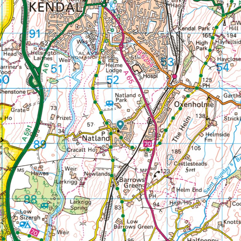
Ordnance Survey reference
Photographs of the area
Geograph is a community project to photograph every square kilometre of the British Isles. It has an extensive archive of photographs in and around Natland, all Creative Commons licensed and viewable by grid square.